Global Volcanism Program | Image GVP-05539
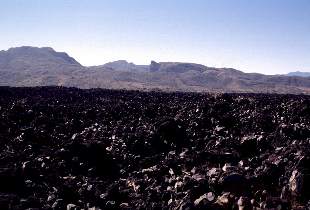
Highway 15 cuts across the lava flow that extends 7 km down the SW flank of Ceboruco. Maps show that this flow, referred to as El Ceboruco, existed prior to the 1870 eruption. Pliocene ignimbrites form the hills in the background.
Photo by Lee Siebert, 1997 (Smithsonian Institution).
![]() This image is made available under the Public Domain Dedication CC0 license, but proper attribution is appreciated.
This image is made available under the Public Domain Dedication CC0 license, but proper attribution is appreciated.
Keywords: lava flow
Ceboruco