Global Volcanism Program | Image GVP-06013
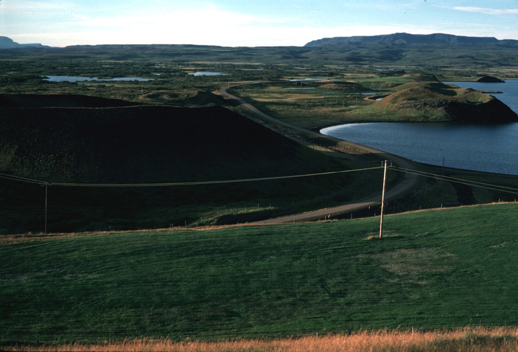
The Laxarhraun lava field in the Heiðarspordar volcanic system covered much of the Lake Mývatn area and lava flowed down the Laxardalur canyon to the north coast. Numerous pseudocraters and rootless cones, some of which are seen here along the shore of the lake, formed as a result of secondary explosive activity when the lava flow encountered abundant groundwater. The massive 224 km2 flow, erupted about 2,000 years ago, forms all but the northern shoreline of the lake.
Photo by Michael Ryan, 1984 (U.S. Geological Survey).
![]() This image is made available as a Public Domain Work, but proper attribution is appreciated.
This image is made available as a Public Domain Work, but proper attribution is appreciated.

Heiðarsporðar