Image GVP-06106
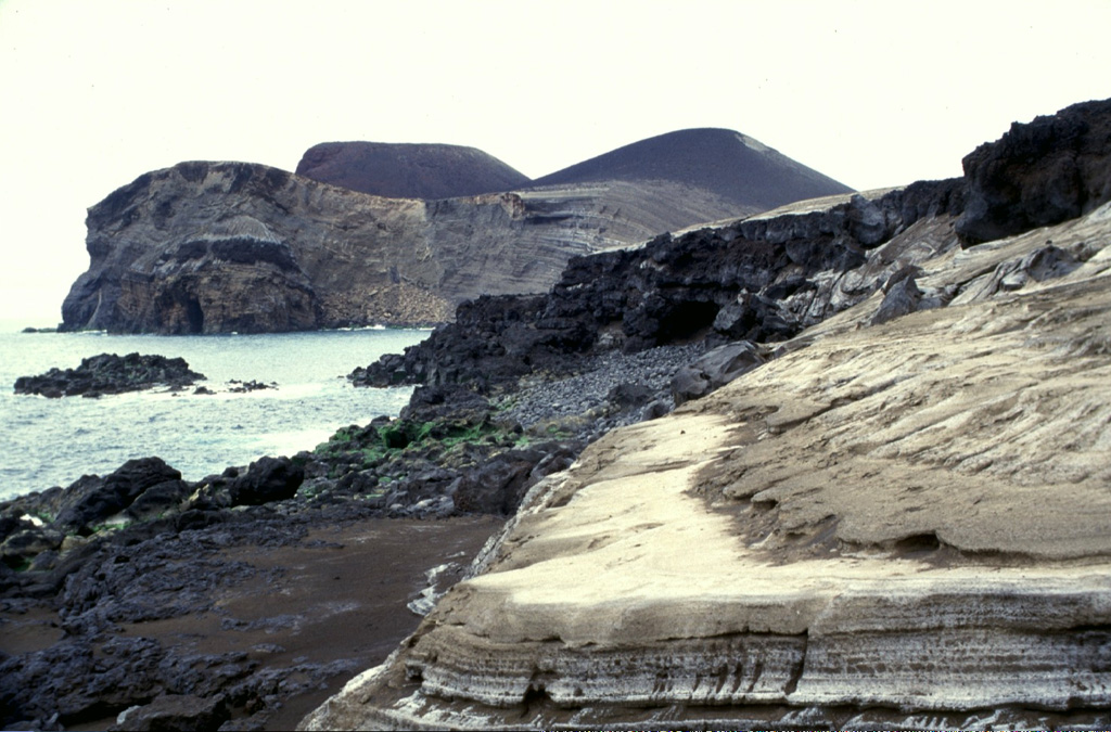
The eroded pyroclastic cone at the left, now forming the western tip of Fayal Island, was constructed during the 1957-58 Capelinhos eruption. Submarine eruptions formed an island that was later joined to the mainland, creating a 1-km-wide peninsula. Wave erosion soon truncated the sides of the new cone, forming the steep south-facing cliffs seen here. Beach erosion in the foreground exposes light-colored ashfall deposits from the eruption.
Photo by Rick Wunderman, 1997 (Smithsonian Institution).
![]() This image is made available under the Public Domain Dedication CC0 license, but proper attribution is appreciated.
This image is made available under the Public Domain Dedication CC0 license, but proper attribution is appreciated.
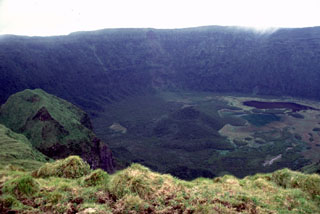
Fayal