Image GVP-06715
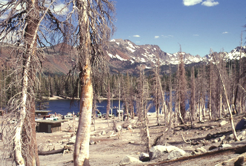
An area of extensive tree kill at Horseshoe Lake, SE of Mammoth Mountain, is seen in July 1998. Dead trees on the NW side of the lake contrast with undamaged trees on the opposite side of the lake. The Horseshoe Lake area is the largest of seven areas of elevated carbon dioxide concentrations located on the southern, northern, and western flanks of Mammoth Mountain. Trees began taking up of magmatic carbon dioxide in early 1990 following the 1989 Mammoth Mountain earthquake swarm.
Photo by Lee Siebert, 1998 (Smithsonian Institution).
![]() This image is made available under the Public Domain Dedication CC0 license, but proper attribution is appreciated.
This image is made available under the Public Domain Dedication CC0 license, but proper attribution is appreciated.
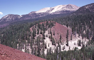
Mammoth Mountain