Global Volcanism Program | Image GVP-07289
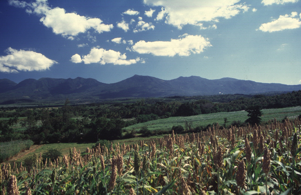
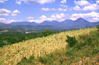
The northern side of the broad Apaneca Range is seen here from El Rodeo. From left to right are Cerro Cuyanausul, Laguna Verde (the center peak), Las Ninfas, and the Cerro La Cumbre complex. The E-W-trending chain of overlapping Pleistocene and Holocene volcanoes of the Apaneca Range forms a major topographic barrier in western El Salvador.
Photo by Carlos Pullinger, 1996 (Servicio Nacional de Estudios Territoriales, El Salvador).
![]() This image is made available under the Creative Commons BY-NC 4.0 license terms.
This image is made available under the Creative Commons BY-NC 4.0 license terms.
Keywords: stratovolcano
Apaneca Range