Global Volcanism Program | Image GVP-07412
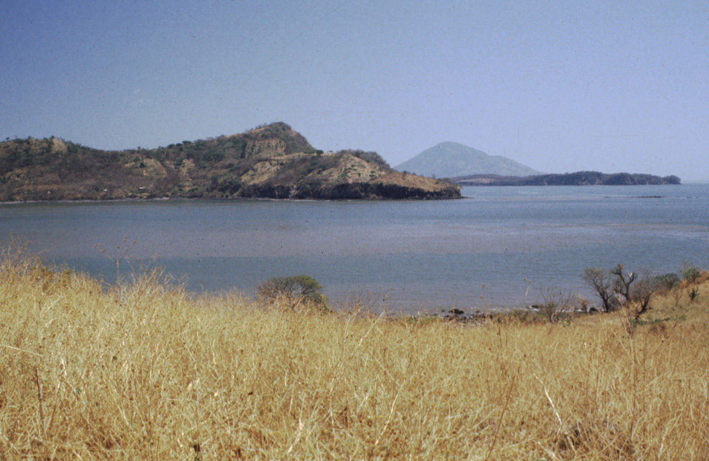
Isla Zacatillo lies in the Gulf of Fonseca only 2 km from Punta el Chiquirín, the eastern tip of El Salvador. The low, roughly 3-km-wide island is crudely rectangular in shape, but has a peninsula extending to the NE. A steep escarpment truncates the western side of the island, seen here. NNW-SSE-trending faults cut lava flows on the island. The conical peak in the distance is Isla el Tigre in Honduras.
Photo by Rick Wunderman, 1999 (Smithsonian Institution).
![]() This image is made available under the Public Domain Dedication CC0 license, but proper attribution is appreciated.
This image is made available under the Public Domain Dedication CC0 license, but proper attribution is appreciated.
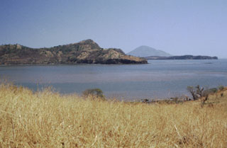
Isla Zacatillo