Image GVP-07416
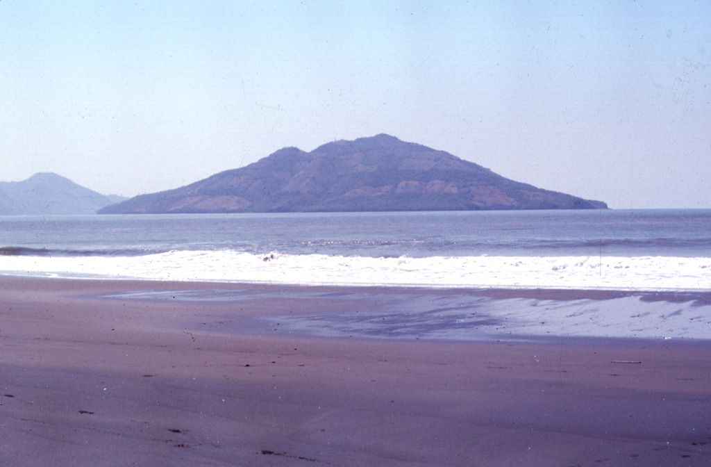
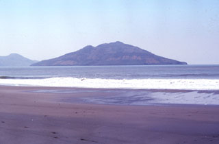
Conchagüita volcano occupies a small, 4-km-wide island in the Gulf of Fonseca across a narrow strait from Conchagua volcano. Conchagüita is seen here from Punta El Chiquirín, the easternmost point on the Salvadoran mainland. Late-stage eruptions formed a small, sharp-topped cone with a 100-m-wide summit crater at the southern end of the low 550-m-high island. Minor ash emissions in 1892 marked the only reported historical eruption from Conchagüita. Meanguera Island can be seen beyond Conchagüita at the left.
Photo by Francesco Frugioni, 1999 (Istituto Nazionale di Geofisca e Vulcanologia, Rome).
![]() This image is made available under the Creative Commons BY-NC-ND 4.0 license terms.
This image is made available under the Creative Commons BY-NC-ND 4.0 license terms.
Conchagüita