Global Volcanism Program | Image GVP-07446
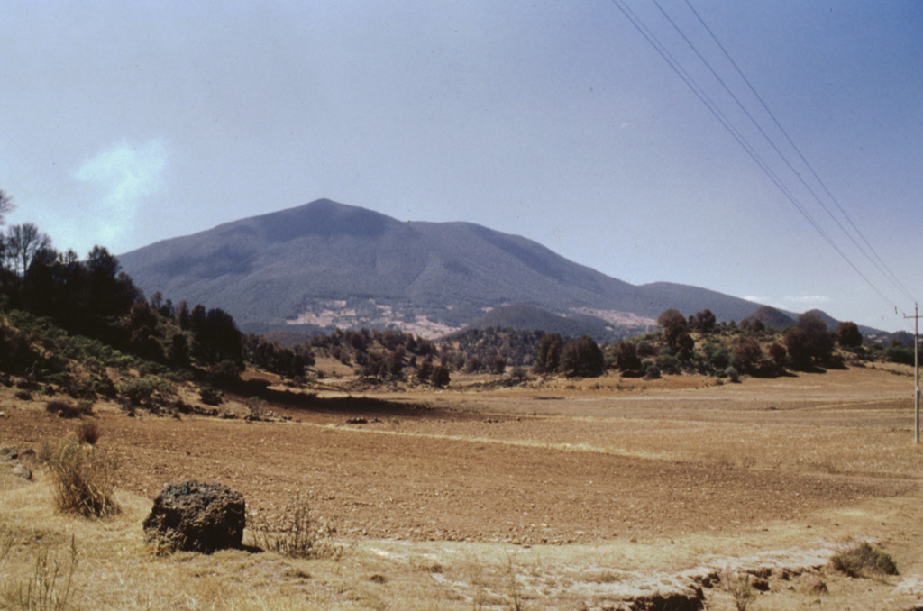
The tree-covered hills in the foreground of this view of Jocotitlán from the NE are the steep lobate front of a massive debris avalanche deposit produced by partial collapse of the volcano. This catastrophic collapse was radiocarbon dated to about 9,690 years ago. The avalanche traveled a maximum distance of 12 km and covered an area of 80 km2. The 2.8 km3 avalanche deposit is overlain by pyroclastic surge and airfall pumice deposits that were erupted immediately following the collapse.
Photo by José Macías, 1997 (Universidad Nacional Autónoma de México).
![]() This image is made available under the Creative Commons BY-NC 4.0 license terms.
This image is made available under the Creative Commons BY-NC 4.0 license terms.
Keywords: debris avalanche deposit
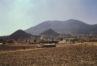
Jocotitlán