Image GVP-07558
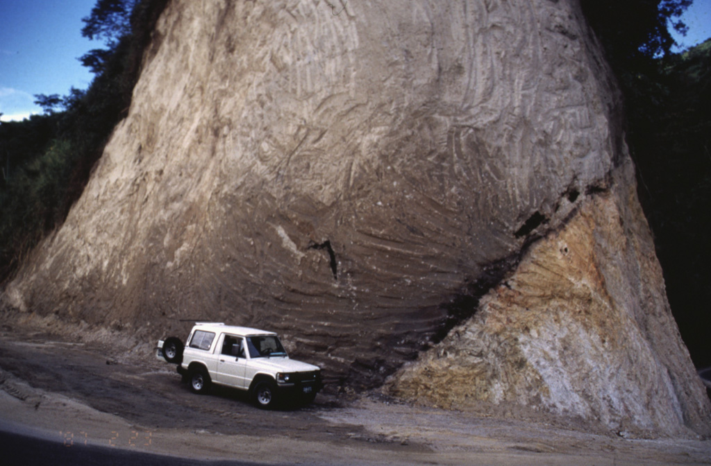
A road cut exposes a pyroclastic flow deposit (left) overlying older granite (lower right). The dark zone dipping away from the front of the jeep, at the base of the pyroclastic flow deposit, are trees charred by the hot pyroclastic flow. This site is located along the road that connects the cities of Ibague and Cajamarco, close to the town of El Boqueron, about 12 km from Cerro Machín volcano.
Photo by José Macías, 1996 (Universidad Autómona de México).
![]() This image is made available under the Creative Commons BY-NC 4.0 license terms.
This image is made available under the Creative Commons BY-NC 4.0 license terms.
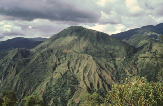
Machín