Global Volcanism Program | Image GVP-07607
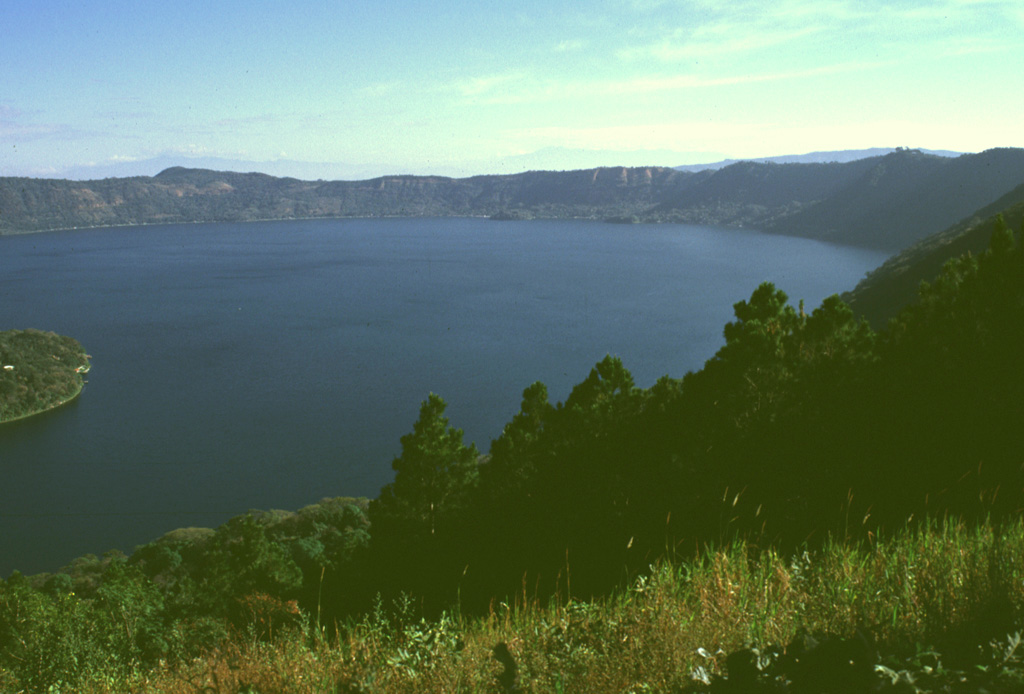
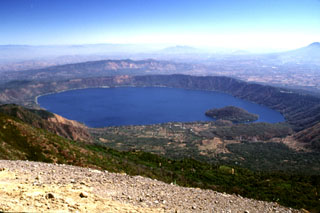
Lago de Coatepeque is within the eastern part of Coatepeque caldera, seen here from the southern caldera rim. The NE part of the caldera formed following the eruption of 40 km3 of rhyolitic pumice-fall and pyroclastic flow deposits about 72,000 years ago. The northern caldera rim in the distance rises about 250 m above the lake, which had a maximum depth of about 120 m when this photo was taken in 1999. Hot springs are located at several points along the shore of the lake near a group of post-caldera lava domes.
Photo by Lee Siebert, 1999 (Smithsonian Institution).
![]() This image is made available under the Public Domain Dedication CC0 license, but proper attribution is appreciated.
This image is made available under the Public Domain Dedication CC0 license, but proper attribution is appreciated.
Keywords: caldera
Coatepeque Caldera