Image GVP-07821
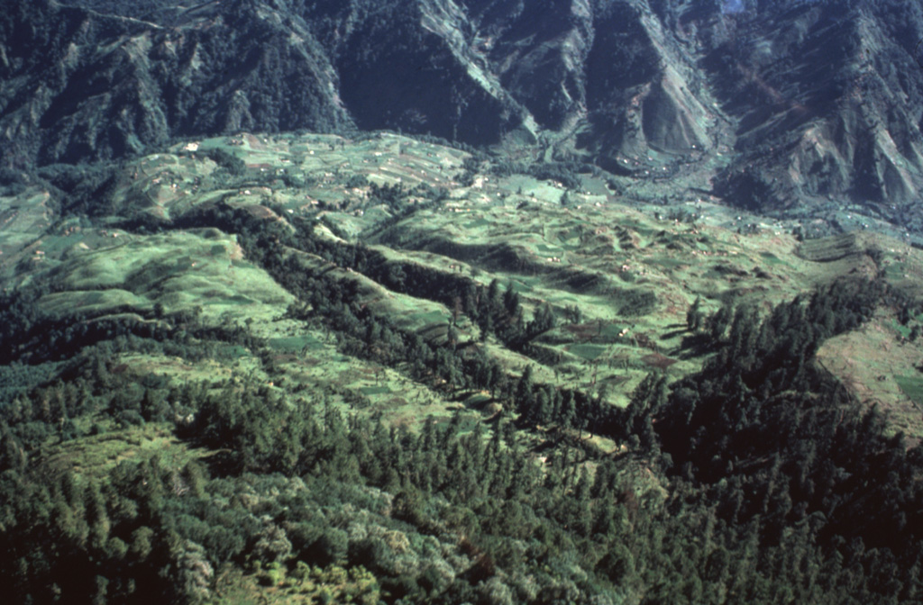
An aerial view of the Río Las Majadas valley in Guatemala on the NNE side of Tacaná volcano shows thick deposits of lahars and debris avalanches filling the valley. These deposits provide a flat surface for agricultural use in deeply eroded terrain. The valley drains from its headwaters in Guatemala through México into the Pacific Ocean, and lahars during future eruptions could affect both countries.
Photo by Bill Rose, 1986 (Michigan Technological University).
![]() This image is made available under the Creative Commons BY-NC-ND 4.0 license terms.
This image is made available under the Creative Commons BY-NC-ND 4.0 license terms.
Keywords: deposit
Tacaná