Image GVP-07991
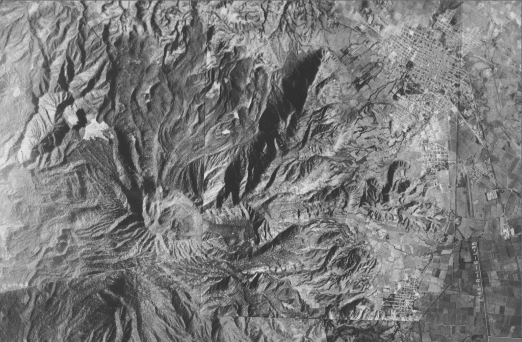
A composite aerial photo with north to the top shows the lighter-gray summit of San Juan volcano just left of the center of the photo. Cerro Alto, the highest peak of the San Juan complex, forms the dark area at the lower left. A dark shadow highlights a 5-km-long NE-trending ridge that marks an eruptive fissure of the cone-building stage of San Juan. Prominent leveed lava flows that reach the northern flank mark the latest eruptive products of San Juan. The cities of Tepic and Jalisco lie at the upper and lower right, respectively.
Photo courtesy of Jim Luhr (Smithsonian Institution).
![]() This image is made available under the Public Domain Dedication CC0 license, but proper attribution is appreciated.
This image is made available under the Public Domain Dedication CC0 license, but proper attribution is appreciated.
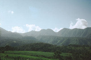
San Juan