Image GVP-08006
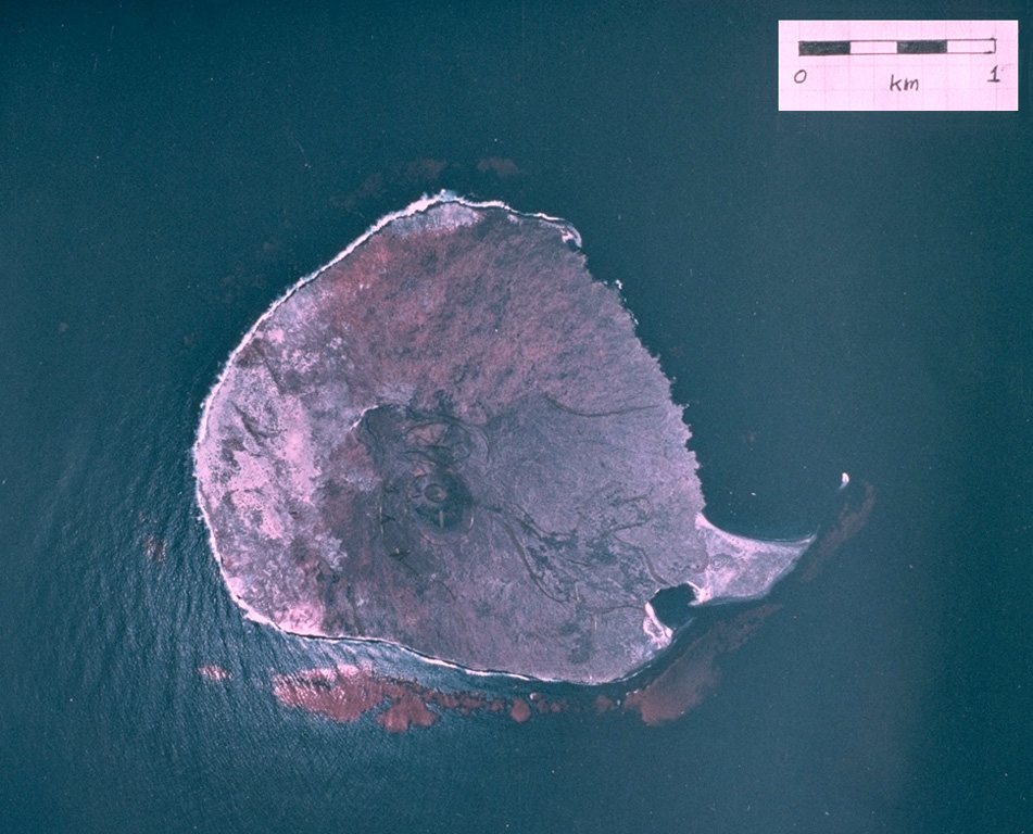
A vertical aerial photograph shows the small, roughly 1-km-wide Isla San Martín, the westernmost of the small volcanoes of the San Quintín volcanic field. Isla San Martín lies 6 km off the Pacific Ocean coast from the rest of the volcanic field and consists of a small basaltic shield volcano capped by a less than 40-m-high cinder cone. The peninsula at the SE (lower right) side of the island is formed by a lava flow.
Aerial photo by Comisión de Estudios del Territorio Nacional (CETENAL), 1:25,000, 1999.
![]() This image is made available under the Public Domain Dedication CC0 license, but proper attribution is appreciated.
This image is made available under the Public Domain Dedication CC0 license, but proper attribution is appreciated.
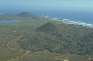
San Quintín Volcanic Field