Image GVP-08063
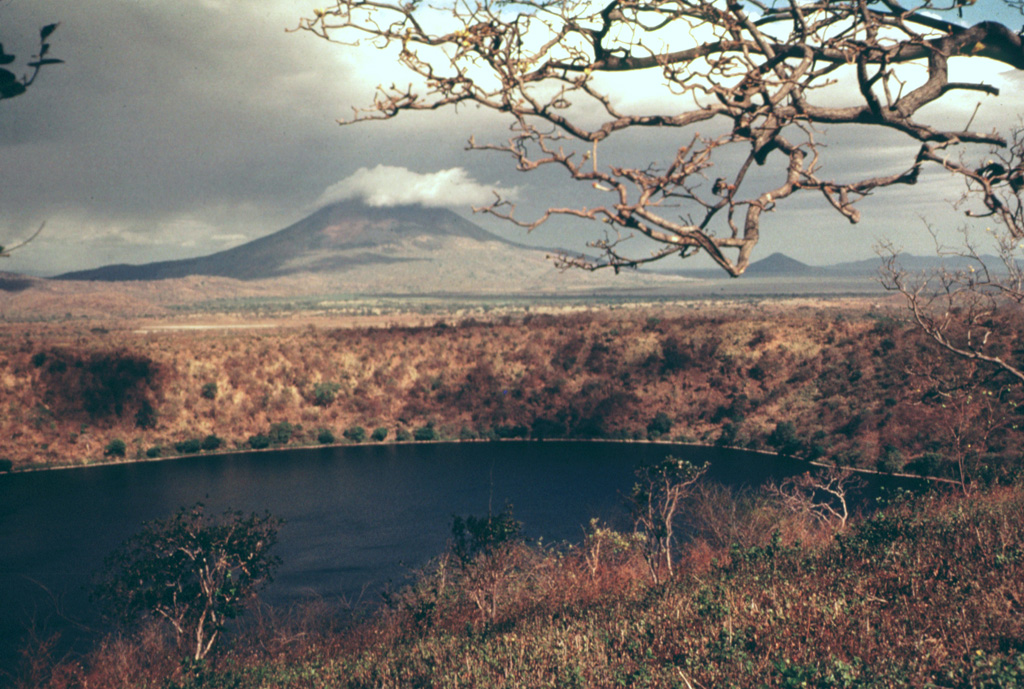
Laguna de Asososca in the foreground is a maar that was constructed along a fissure extending south from Las Pilas volcano. The maar is elongated N-S in the direction of the fissure system and is about 2 km long in that direction. Prevailing winds to the west constructed a higher rim on that side, the vantage point of this photo. The cloud-capped conical peak in the distance is Momotombo, and the much lower peak to its right is Momotombito, which forms an island in Lake Managua.
Photo by Jaime Incer.
![]() This image is made available under the Creative Commons BY-NC 4.0 license terms.
This image is made available under the Creative Commons BY-NC 4.0 license terms.
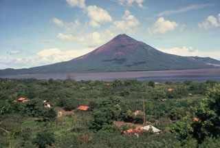
Momotombo
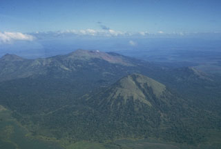
Las Pilas-El Hoyo Complex