Global Volcanism Program | Image GVP-08068
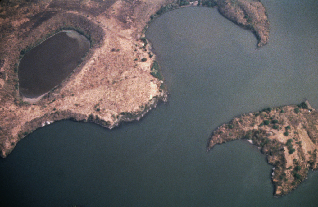
A cluster of maars forms the NW tip of Zapatera Island in this aerial view with north to the bottom. Laguna de Zapatera lies at the upper left, and Punta Rua, the peninsula at the upper right, forms part of the western rim of a maar enclosing the Ensenada de Chiqueros. Isla El Muerto lies just offshore at the lower right.
Photo by Franco Penalba, 1994 (courtesy of Jaime Incer).
![]() This image is made available under the Creative Commons BY-NC 4.0 license terms.
This image is made available under the Creative Commons BY-NC 4.0 license terms.
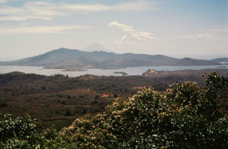
Zapatera