Global Volcanism Program | Image GVP-08234
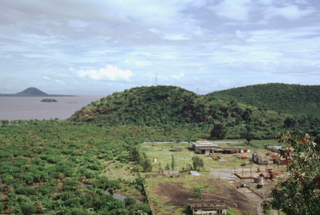
The N-S-trending Nejapa-Miraflores alignment of cones cuts across the western outskirts of the city of Managua and extends across a bay of Lake Managua onto the Chiltepe Peninsula. Cerro San Carlos (center) lies along the southern side of the bay, while the conical peak of Volcán Chiltepe is visible at the upper left on the eastern tip of the Chiltepe Peninsula.
Photo by Paul Kimberly, 1998 (Smithsonian Institution).
![]() This image is made available under the Public Domain Dedication CC0 license, but proper attribution is appreciated.
This image is made available under the Public Domain Dedication CC0 license, but proper attribution is appreciated.
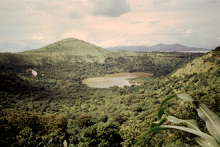
Nejapa-Miraflores