Image GVP-08507
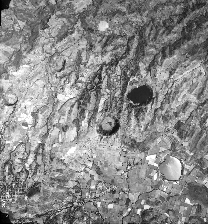
Several maars of the Apastepeque volcanic field are seen in this vertical aerial view. The two lake-filled maars are Laguna de Apastepeque (the light-colored lake at the lower right) and Laguna Chalchuapa (the dark-colored lake at the right-center). SW of it is the large dry maar Hoyo de Calderas, and other dry maars appear at the upper left and lower right. The Pan-American highway cuts across the bottom of the photo, and the town of San Esteban Catarina is at the lower left, immediately west of Cerro Las Delicias lava dome.
Aerial photo by Instituto Geográfico Nacional El Salvador, 1992.
![]() This image is made available under the Creative Commons BY-NC 4.0 license terms.
This image is made available under the Creative Commons BY-NC 4.0 license terms.
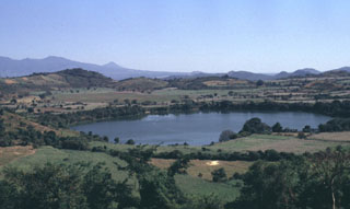
Apastepeque Field