Image GVP-08510
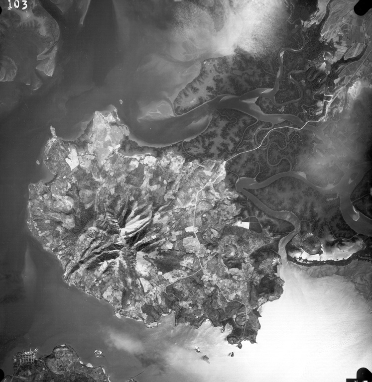
Isla Zacate Grande forms a peninsula bounded by the Gulf of Fonseca at the bottom of the photo and Chismuyo Bay at the left. Deep erosional valleys descend from the summit of the eroded stratovolcano, which is connected to the Honduras mainland by tidal flats cut by numerous small estuaries seen at the upper right. More than a half dozen younger satellitic cones, some of which may be Holocene in age, surround the volcano. The tip of Isla el Tigre lies across the narrow 2-km-wide strait from Zacate Grande.
Aerial photo by Instituto Geográfico Nacional El Salvador.
![]() This image is made available under the Creative Commons BY-NC 4.0 license terms.
This image is made available under the Creative Commons BY-NC 4.0 license terms.
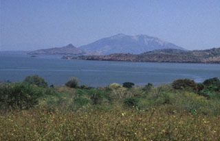
Isla Zacate Grande