Image GVP-08552
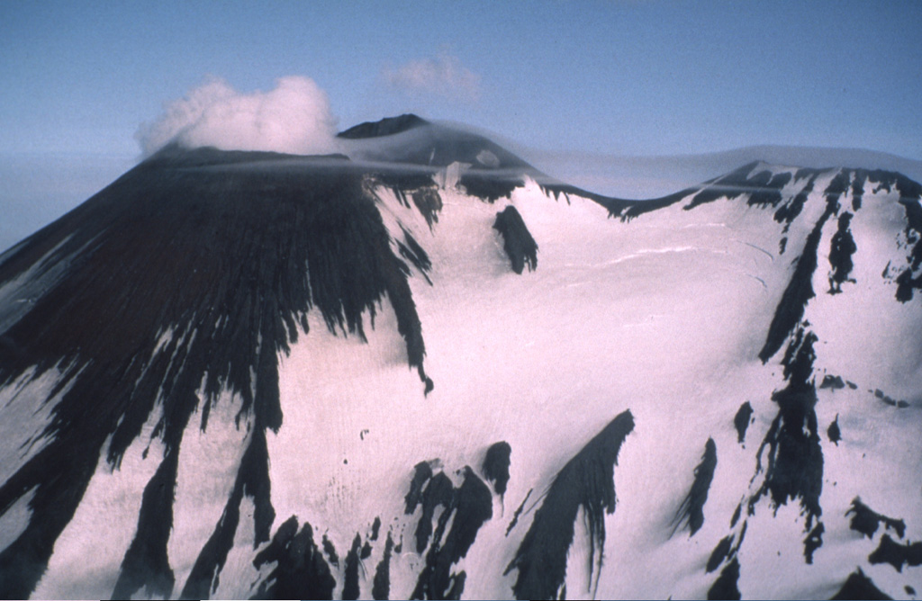
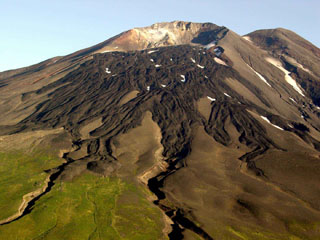
Two peaks form the summit ridge of Gareloi. The active NE-most crater (left) forms the high point of the island. A SE-trending 4-km-long fissure formed during an eruption in 1929, extends from the summit (right) to the sea and contains 13 vents. Phreatic explosions were followed by the ejection of pumice, lapilli, scoria, and lithics, as well as by the emission of four short lava flows.
Photo by Fred Zeillemaker, 1986 (U.S. Fish & Wildlife Service, courtesy of Alaska Volcano Observatory).
![]() This image is made available as a Public Domain Work, but proper attribution is appreciated.
This image is made available as a Public Domain Work, but proper attribution is appreciated.
Keywords: stratovolcano
Gareloi