Image GVP-09519
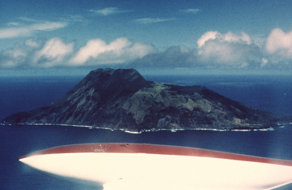
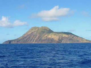
The 3-km-wide Sarigan volcano is seen here from the NE. The flat area to the right consists of a cone with a 750-m-wide summit crater that contains a small cone. The youngest eruptions produced two lava domes from vents on and near the S crater rim, forming the island's high point to the left. Holocene lava flows from the dome complex reached the coast to the left-center and formed the peninsula to the far left.
Photo by Richard Moore, 1990 (U.S. Geological Survey).
![]() This image is made available as a Public Domain Work, but proper attribution is appreciated.
This image is made available as a Public Domain Work, but proper attribution is appreciated.
Keywords: cone | erosion | island volcano | lava dome
Sarigan