Image GVP-09995
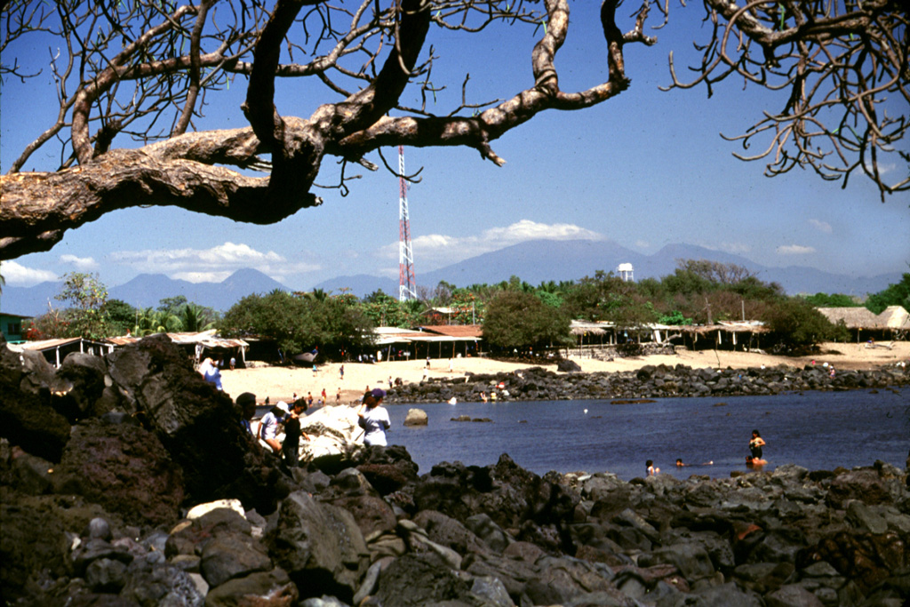
The massive Acajutla debris avalanche swept into the sea, forming a peninsula that extended the shoreline about 7 km. The rocks in the foreground and across the bay at Playa Los Cobanos are the farthest subaerial extent of the avalanche, 41 km from its source at Santa Ana volcano on the horizon to the right. Hummocks are exposed to the coastline and are visible well offshore on bathymetric surveys, which suggest that the avalanche deposit has a significant submarine component.
Photo by Lee Siebert, 2002 (Smithsonian Institution).
![]() This image is made available under the Public Domain Dedication CC0 license, but proper attribution is appreciated.
This image is made available under the Public Domain Dedication CC0 license, but proper attribution is appreciated.
Keywords: debris avalanche deposit

Santa Ana