Image GVP-10056
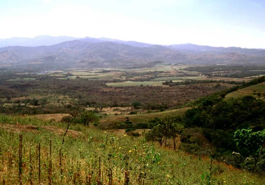
The brownish area extending across the center of the photo is the 1722 Teixcal lava flow. Erupting from the base of San Marcelino scoria cone on the SE flank of Santa Ana (out of view to the right), the flow traveled 13 km E to the edge of the Zapotitán basin and destroyed the village of San Juan Tecpán as well as burying about 15 km2 of agricultural land.
Photo by Lee Siebert, 2002 (Smithsonian Institution).
![]() This image is made available under the Public Domain Dedication CC0 license, but proper attribution is appreciated.
This image is made available under the Public Domain Dedication CC0 license, but proper attribution is appreciated.
Keywords: lava flow

Santa Ana