Image GVP-10186
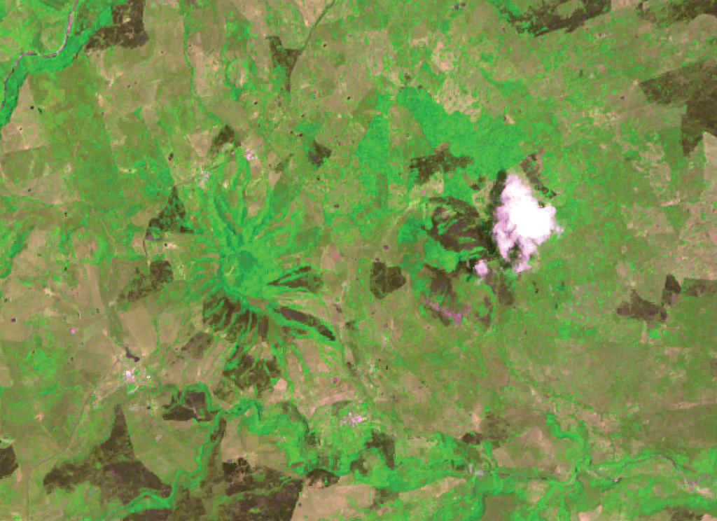
Radial drainages outlining two pyroclastic cones capping the Los Atlixcos shield volcano are visible immediately left (west) of the weather cloud and 2 km farther west at the left center. The two cones, both known as Cerro los Atlixcos, were constructed along an E-W line and rise 200-300 m above a connecting saddle. The 800-m-high western cone is 100 m higher than the eastern cone; both cones are breached to the east. Lava flows from Los Atlixcos reached the Gulf of Mexico along a broad front.
ASTER satellite image, 2002 (National Aeronautical and Space Administration, processed by Doug Edmonds).
![]() This image is made available under the Creative Commons BY-NC 4.0 license terms.
This image is made available under the Creative Commons BY-NC 4.0 license terms.
Los Atlixcos