Image GVP-10193
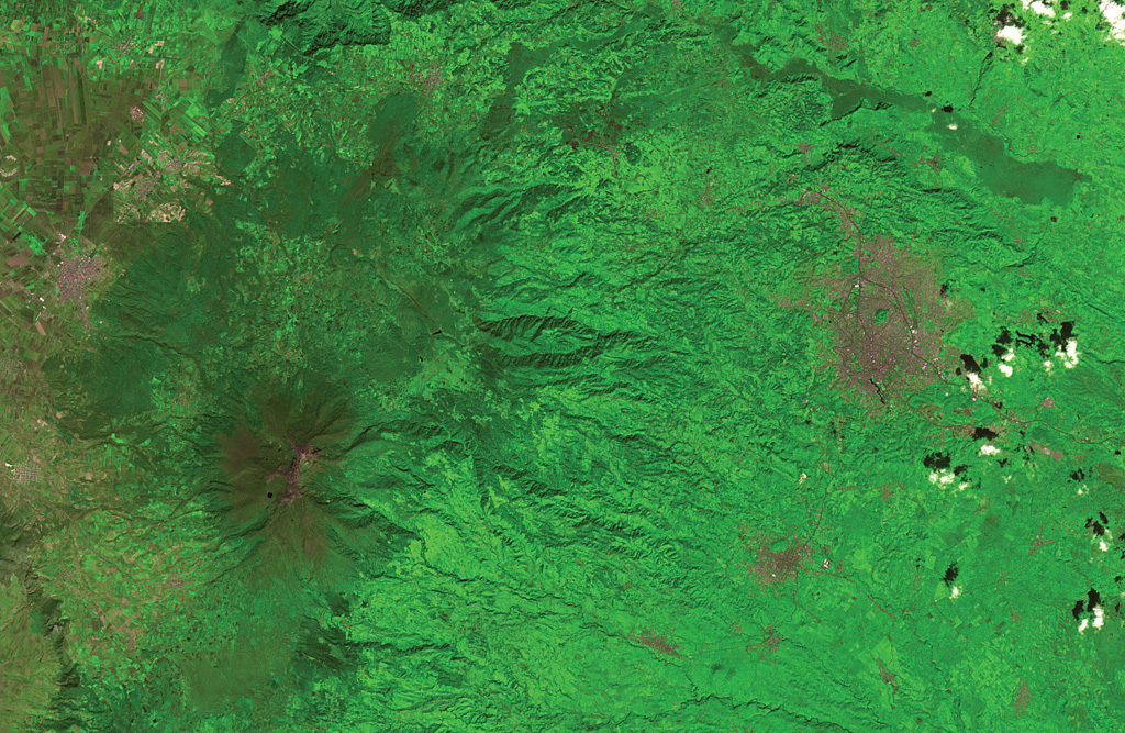
The flanks of the massive Cofre de Perote shield volcano extend across most of the left two-thirds of this satellite image. The summit of the volcano (lower left) has been truncated by edifice failure to the east. The large brown area at the middle right is Jalapa, the capital city of the state of Veracruz; to its SW is the city of Coatepeque. The voluminous dark-colored Río Naolinco lava flow north of Jalapa originated from a vent on the lower NE flank of Cofre de Perote about 900 years ago and traveled an additional 15 km beyond the margin of this image.
ASTER satellite image, 2001 (National Aeronautical and Space Administration, processed by Doug Edmonds).
![]() This image is made available under the Creative Commons BY-NC 4.0 license terms.
This image is made available under the Creative Commons BY-NC 4.0 license terms.
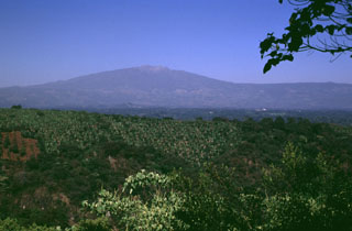
Cofre de Perote