Image GVP-10296
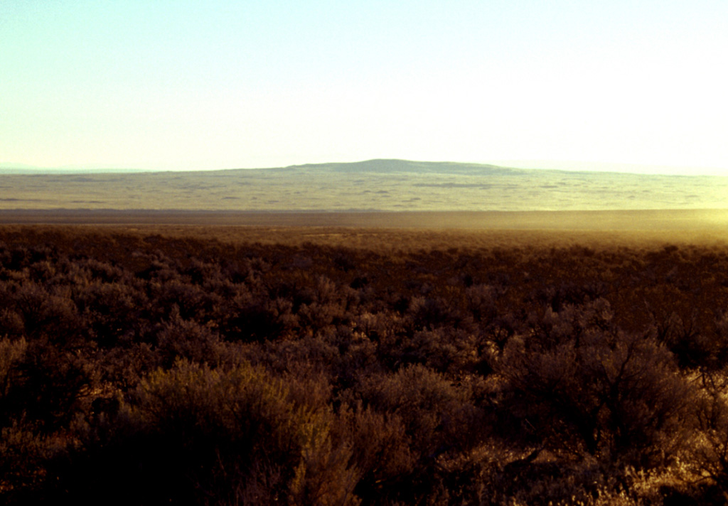
The low shield volcano of Jackies Butte, sometimes referred to as Bowden Crater, is seen here from the SW on the northern side of the Bowden Hills near the SE corner of Oregon. This small, relatively unstudied basaltic volcanic field consists of two small shield volcanoes and two cinder cones. The 1418-m-high Jackies Butte lies about 40 and 70 km from the borders with Idaho and Nevada, respectively. Lava flows of late Quaternary age cover an area of about 325 km2 SE of Burns Junction on Highway 95 and SW of Owyhee Canyon.
Photo by Lee Siebert, 2002 (Smithsonian Institution).
![]() This image is made available under the Public Domain Dedication CC0 license, but proper attribution is appreciated.
This image is made available under the Public Domain Dedication CC0 license, but proper attribution is appreciated.

Jackies Butte