Image GVP-10297
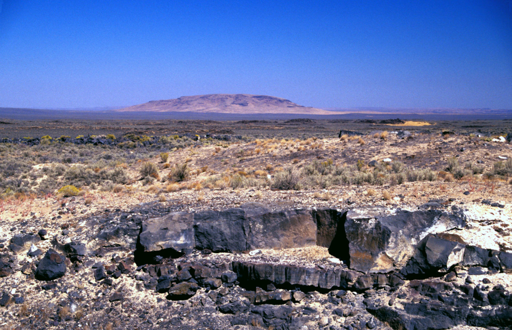
Basaltic lava flows from Saddle Butte volcanic field in SE Oregon descend low-angle slopes towards Saddle Butte on the horizon. The volcanic field consists of an 1100 km2 area of Pleistocene basalts with a superposed 240 km2 area of younger Pleistocene basalts. Oregon State Highway 78, from where this photo was taken, cuts across the western side of the isolated lava field, which reaches nearly to the southern base of Saddle Butte. Lava tubes are prominent in the younger flows.
Photo by Lee Siebert, 2002 (Smithsonian Institution).
![]() This image is made available under the Public Domain Dedication CC0 license, but proper attribution is appreciated.
This image is made available under the Public Domain Dedication CC0 license, but proper attribution is appreciated.

Saddle Butte