Global Volcanism Program | Image GVP-10448
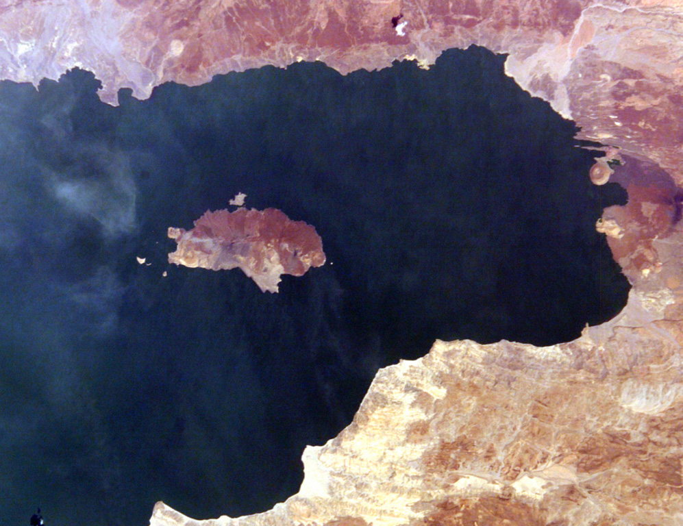
South Island (left center) is the southernmost and largest of the three volcanic islands in Lake Turkana. North is to the left in this International Space Station view. Lava flows erupted from a fissure extending the 11-km length of the island and form much of the eastern shoreline (top). An eruption from a scoria cone on South Island was witnessed during Count von Teliki's 1888 expedition.
NASA International Space Station image ISS006-E-5095, 2002 (http://eol.jsc.nasa.gov/).
![]() This image is made available as a Public Domain Work, but proper attribution is appreciated.
This image is made available as a Public Domain Work, but proper attribution is appreciated.
Keywords: island volcano | remote sensing
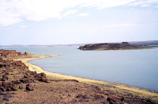
Lake Turkana South Island