Image GVP-10481
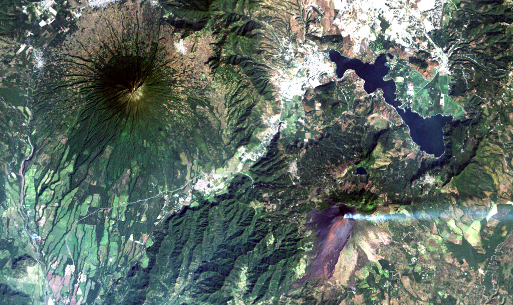
Steaming Pacaya volcano (lower right) lies across a valley from symmetrical Agua volcano (upper left). Pacaya was constructed near the southern margin of Amatitlán caldera, whose SE rim lies near the right-center margin. The 14 x 16 km wide caldera was formed during a series of major silicic explosive eruptions between about 300,000 and 23,000 years ago. The irregular margins of Lake Amatitlán are constrained on the SW side by post-caldera lava domes. The outskirts of Guatemala City lie at the upper right.
NASA Landsat image, 2000 (courtesy of Loren Siebert, University of Akron).
![]() This image is made available under the Creative Commons BY-NC 4.0 license terms.
This image is made available under the Creative Commons BY-NC 4.0 license terms.

Pacaya
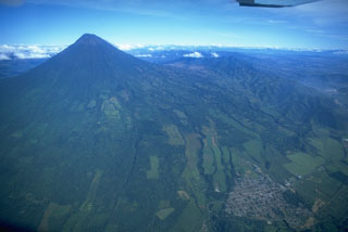
Agua