Global Volcanism Program | Image GVP-10485
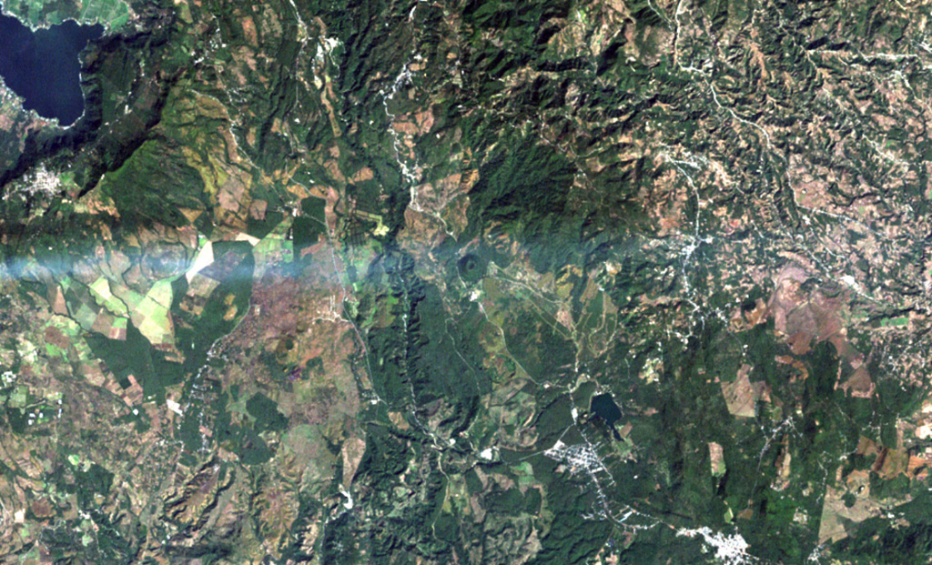
A volcanic plume from Pacaya volcano extends eastward from the left to Cerro Redondo, a small symmetrical cinder cone in the center of the image. This cone is one of the youngest features of the Cuilapa-Barbarena volcanic field, a cluster of about 70 Quaternary cinder cones located near the cities of Cuilapa and Barbarena (lower right) and in areas to the north and west. The cones were constructed where the NW-SE-trending Jalpatagua Fault intersects the southern margin of the Miocene Santa Rosa de Lima caldera.
NASA Landsat image, 2000 (courtesy of Loren Siebert, University of Akron).
![]() This image is made available under the Creative Commons BY-NC 4.0 license terms.
This image is made available under the Creative Commons BY-NC 4.0 license terms.
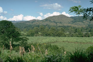
Cuilapa-Barbarena