Global Volcanism Program | Image GVP-10486
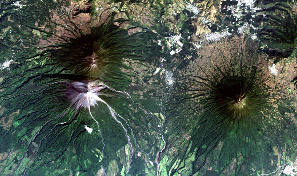
The historical city of Antigua Guatemala (top-right margin) is surrounded by three major stratovolcanoes in this Landsat view with north to the upper right. Dark-colored Acatenango volcano (upper left) and the unvegetated summit of Fuego volcano lie SW of the city, and Agua volcano (right-center) lies south. No historical eruptions from Agua are known, although mudflows in 1541 caused the abandonment of Ciudad Vieja, the previous capital city of Guatemala. Barrancas radiating SE from Fuego are light-colored from deposits of historical eruptions.
NASA Landsat image, 2000 (courtesy of Loren Siebert, University of Akron).
![]() This image is made available under the Creative Commons BY-NC 4.0 license terms.
This image is made available under the Creative Commons BY-NC 4.0 license terms.
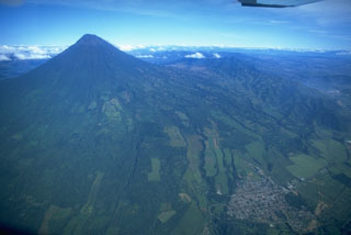
Agua

Fuego