Global Volcanism Program | Image GVP-10531
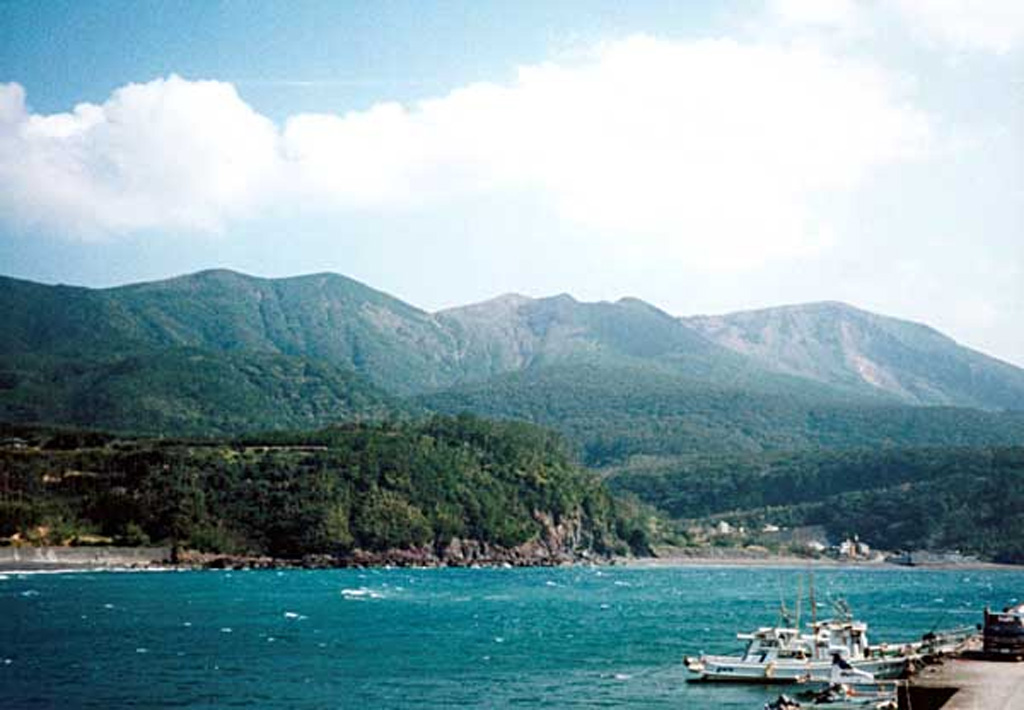
Kuchinoerabu rises to the SE above the fishing village of Motomura. The active cone of Shindake is in the center, Sankakutenyama is to the left, and Furudake (Hurudake) to the right. Shindake has been the site of frequent explosive eruptions in historical time. Several villages on the 4 x 12 km island are located within a few kilometers of the active crater and have suffered damage from eruptions.
Copyrighted photo by Shingo Takeuchi (Japanese Quaternary Volcanoes database, RIODB, http://riodb02.ibase.aist.go.jp/strata/VOL_JP/EN/index.htm and Geol Surv Japan, AIST, http://www.gsj.jp/).
Copyrighted image used with permission. All Rights Reserved. Contact photographer for any usage requests.

Kuchinoerabujima