Global Volcanism Program | Image GVP-10590
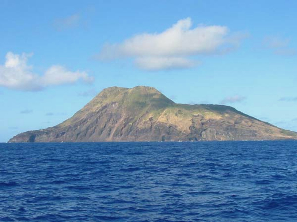
The 3-km-wide Sarigan volcano is seen here from the E during a 2003 NOAA expedition to the Marianas Islands.The cone has a 750-m-wide summit crater that forms the flat area to the right and it contains a small cone. More recent eruptions produced two lava domes from vents on and near the S crater rim, forming the island's high point at the left part of the summit. Holocene lava flows from the dome complex formed the peninsula to the far left.
Image courtesy of NOAA, 2003 (http://oceanexplorer.noaa.gov/explorations/03fire/).
![]() This image is made available as a Public Domain Work, but proper attribution is appreciated.
This image is made available as a Public Domain Work, but proper attribution is appreciated.
Keywords: cone | erosion | island volcano
Sarigan