Image GVP-10660
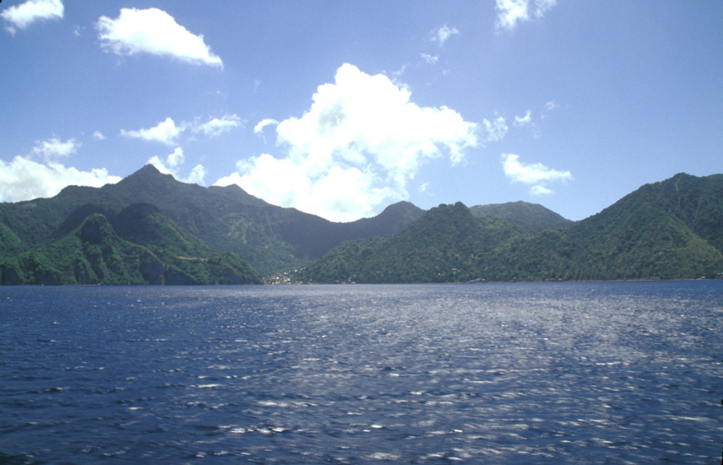
Morne Plat Pays (left), Morne Patates (right-center) and Crabier (right) at the SW tip of Dominica are seen from the SW. The Morne Plat Pays volcanic complex contains the Morne Plat Pays stratovolcano and a complex of central lava domes. The complex is cut by a large depression, partly filled by the lava domes, that was formed by collapse of the volcano during the late Pleistocene. The collapse scarp is 400-900 m high, and submarine debris-avalanche blocks from the collapse are visible in bathymetry.
Photo by Paul Kimberly, 2002 (Smithsonian Institution).
![]() This image is made available under the Public Domain Dedication CC0 license, but proper attribution is appreciated.
This image is made available under the Public Domain Dedication CC0 license, but proper attribution is appreciated.
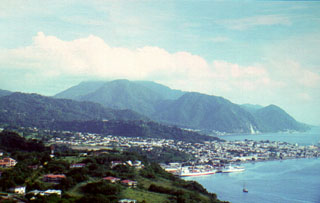
Morne Plat Pays