Image GVP-10692
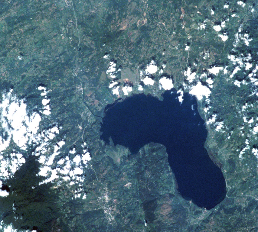
The Lake Yojoa volcanic field forms the entire northern shore of the 10 x 12 km lake, the largest in Honduras, in this International Space Station image with north to the upper left. Cretaceous limestones lie west of the lake, and Tertiary volcanic rocks to the east. Vents of the volcanic field, which extends to the top of the image, are concentrated along two NW- and NE-trending lines. The Lake Yojoa volcanic field has produced both tholeiitic and alkaline basaltic rocks.
NASA International Space Station image ISS001-350-18, 2001 (http://eol.jsc.nasa.gov/).
![]() This image is made available as a Public Domain Work, but proper attribution is appreciated.
This image is made available as a Public Domain Work, but proper attribution is appreciated.
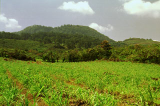
Lago Yojoa