Image GVP-10791
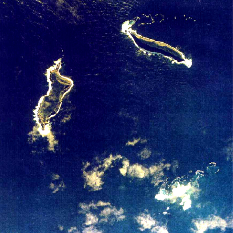
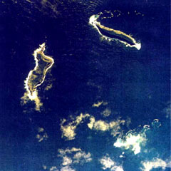
The small islands of Hunga Tonga (upper right) and Hunga Ha'apai (left) are the peaks a large seamount located about 30 km SSE of Falcon Island. The two islands are about 2 km long. They have inward-facing cliffs that represent the W and N remnants of the rim of a largely-submarine caldera lying E and S of the islands. A shoal is visible 3.2 km SE of Hunga Ha'apai and 3 km south of Hunga Tonga and marks the most prominent historically active vent.
Aerial photo by Tonga Ministry of Lands, Survey, and Natural Resources, 1991 (published in Taylor and Ewart, 1997).
![]() This image is made available under the Creative Commons BY-NC 4.0 license terms.
This image is made available under the Creative Commons BY-NC 4.0 license terms.
Keywords: island volcano | remote sensing
Hunga Tonga-Hunga Ha'apai