Global Volcanism Program | Image GVP-10999
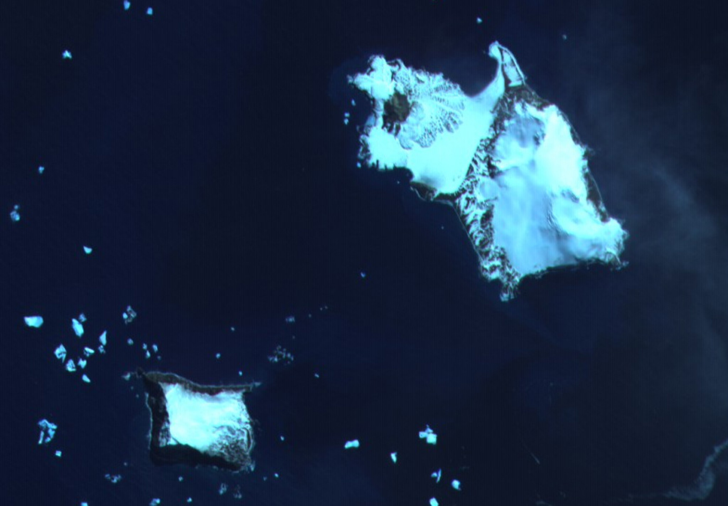
The southern end of Candlemas Island (upper right) consists of an eroded, glacier-covered stratovolcano whose lava flows may have originated from a former summit vent located east of the island. The snow-free area at the NW part of the island is Lucifer Hill, a scoria-cone complex that was the source of snow-covered lava flows seen in this image. Geysers and hot pools have been observed on several occasions during the 20th century. Vindication Island (lower left), of possible Holocene age, is located 4.5 km west of Candlemas Island.
ASTER satellite image, 2001 (National Aeronautical and Space Administration, courtesy of ASTER science team).
![]() This image is made available under the Creative Commons BY-NC 4.0 license terms.
This image is made available under the Creative Commons BY-NC 4.0 license terms.
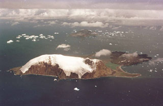
Candlemas Island