Image GVP-11126
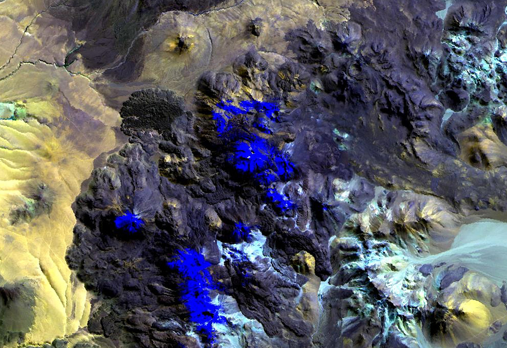
Putana volcano, also known as Jorgencal or Machuca, lies in the center of this Landsat image. Snow-covered areas are deep blue in this image of the N-S-trending volcanic complex, which covers an area of 600 km2. The main edifice consists of accumulated postglacial dacitic lava domes and flows mantling an older pre-Holocene volcano. The youngest basaltic andesite lava flows are viscous and rarely extend more than 3 km. The prominent fan-shaped lava flow at the upper left originated from a flank vent.
NASA Landsat image, 1999 (courtesy of Hawaii Synergy Project, Univ. of Hawaii Institute of Geophysics & Planetology).
![]() This image is made available as a Public Domain Work, but proper attribution is appreciated.
This image is made available as a Public Domain Work, but proper attribution is appreciated.
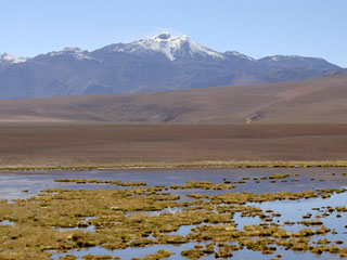
Putana