Image GVP-11131
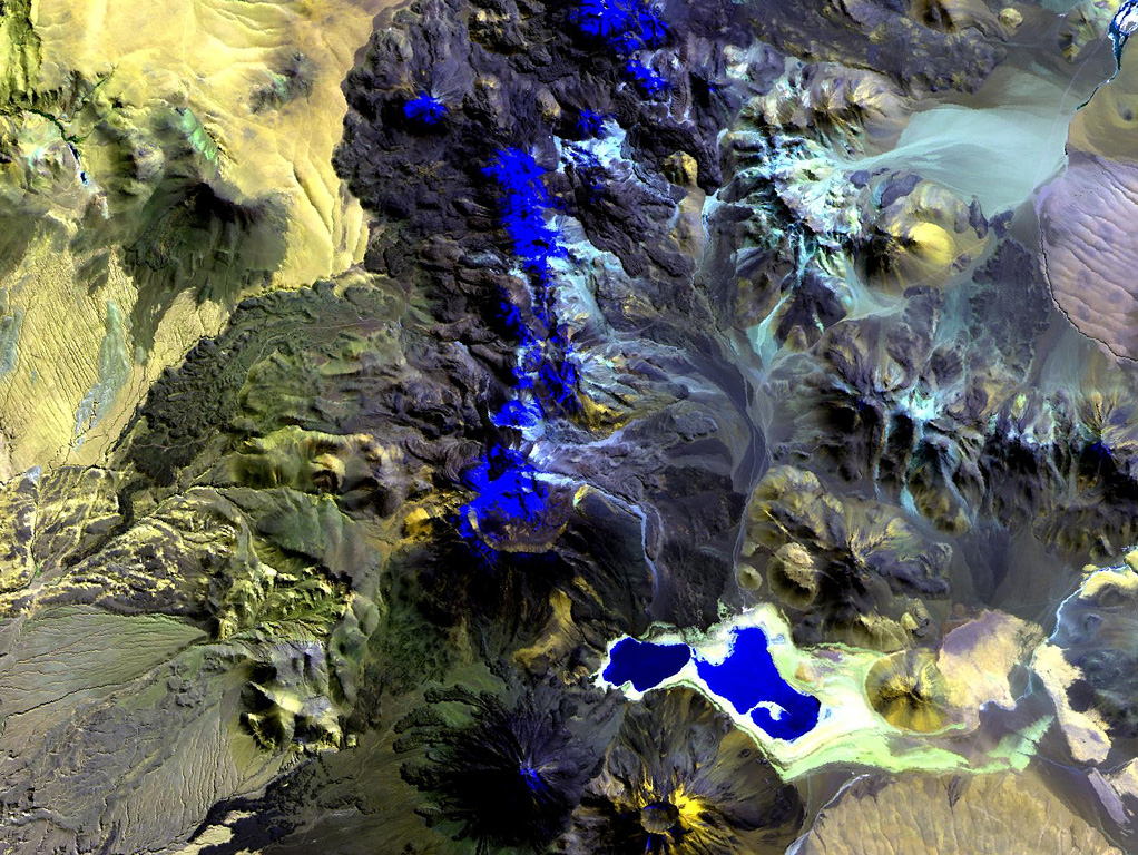
The N-S-trending chain of andesitic-dacitic volcanoes along the Chile-Bolivia border just left of the center of this Landsat image is the Sairecábur-Escalante volcanic massif. Snow-covered areas are blue in this image of the chain, which contains at least 10 postglacial centers. A massive lava flow extends to the west, and a youthful flow traveled SE from Curinquinca volcano at the NE side of the chain. Laguna Verde is the left-hand lake at the bottom, NE of dark-colored Licancabur volcano; Juriques volcano to its right has a pronounced summit crater.
NASA Landsat image, 1999 (courtesy of Hawaii Synergy Project, Univ. of Hawaii Institute of Geophysics & Planetology).
![]() This image is made available as a Public Domain Work, but proper attribution is appreciated.
This image is made available as a Public Domain Work, but proper attribution is appreciated.
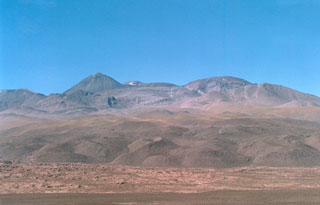
Sairecábur