Global Volcanism Program | Image GVP-11139
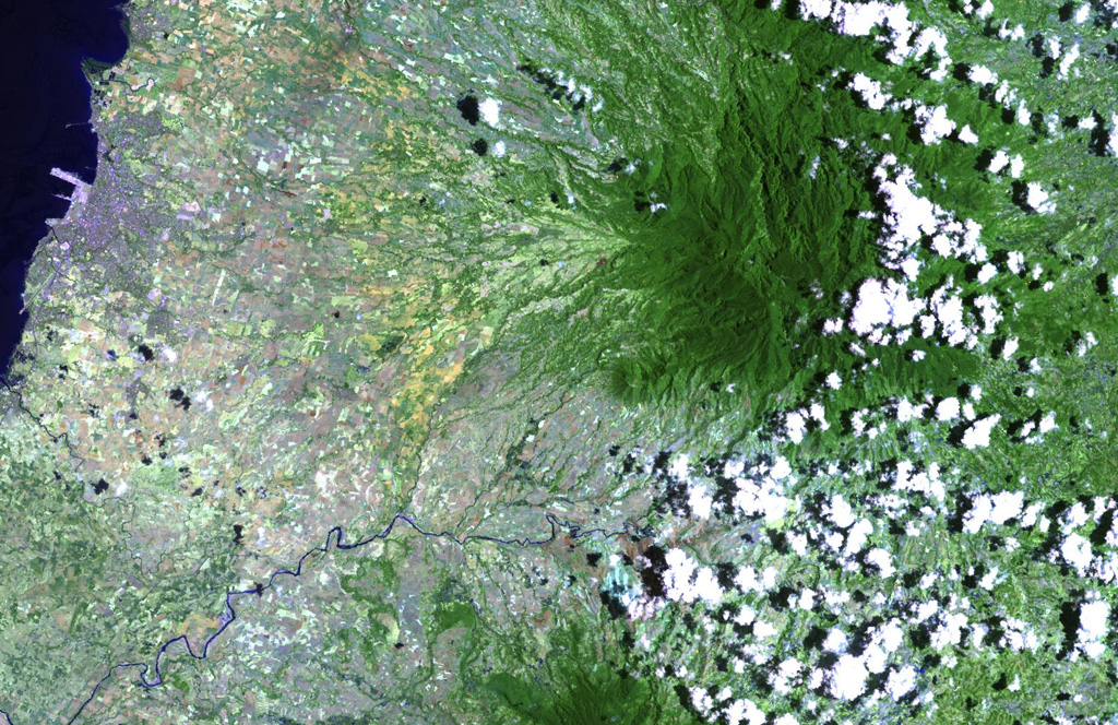
The deeply eroded, forested Mandalagan volcano on northern Negros Island contains a highly altered domed structure. The Bago River at the bottom of the image cuts across the lowlands between Mandalagan and Kanlaon volcano, whose vegetated flanks are visible at the bottom center.
NASA Landsat image, 2003 (courtesy of Hawaii Synergy Project, Univ. of Hawaii Institute of Geophysics & Planetology).
![]() This image is made available as a Public Domain Work, but proper attribution is appreciated.
This image is made available as a Public Domain Work, but proper attribution is appreciated.

Mandalagan