Global Volcanism Program | Image GVP-11177
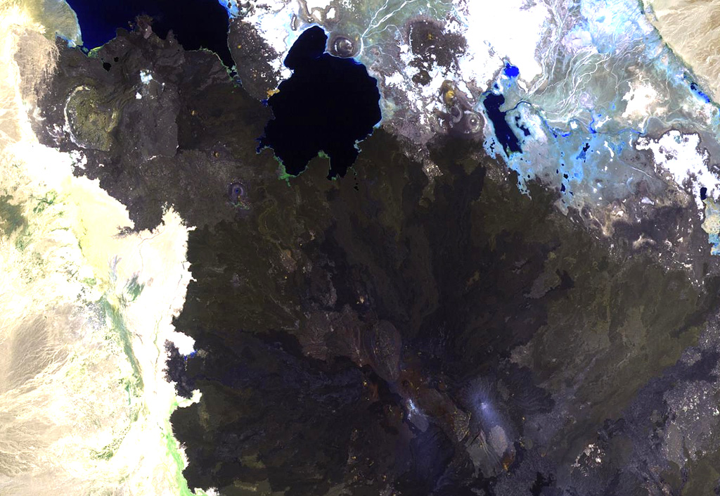
The summit region of Alu volcano is located left of the center of this Landsat image, south of Lake Bakili (top center). Alu lies SE of Gada Ale volcano (upper left), which rises above the western shore of the lake, and NW of Dalafilla volcano (bottom center). Fissure vents west of the horst have fed silicic lava flows, and other fissures to the south have produced voluminous basaltic lava flows that extend north as far as Lake Bakili.
NASA Landsat image, 1999 (courtesy of Hawaii Synergy Project, Univ. of Hawaii Institute of Geophysics & Planetology).
![]() This image is made available as a Public Domain Work, but proper attribution is appreciated.
This image is made available as a Public Domain Work, but proper attribution is appreciated.
Keywords: remote sensing | lava flow | stratovolcano
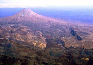
Alu-Dalafilla