Global Volcanism Program | Image GVP-11211
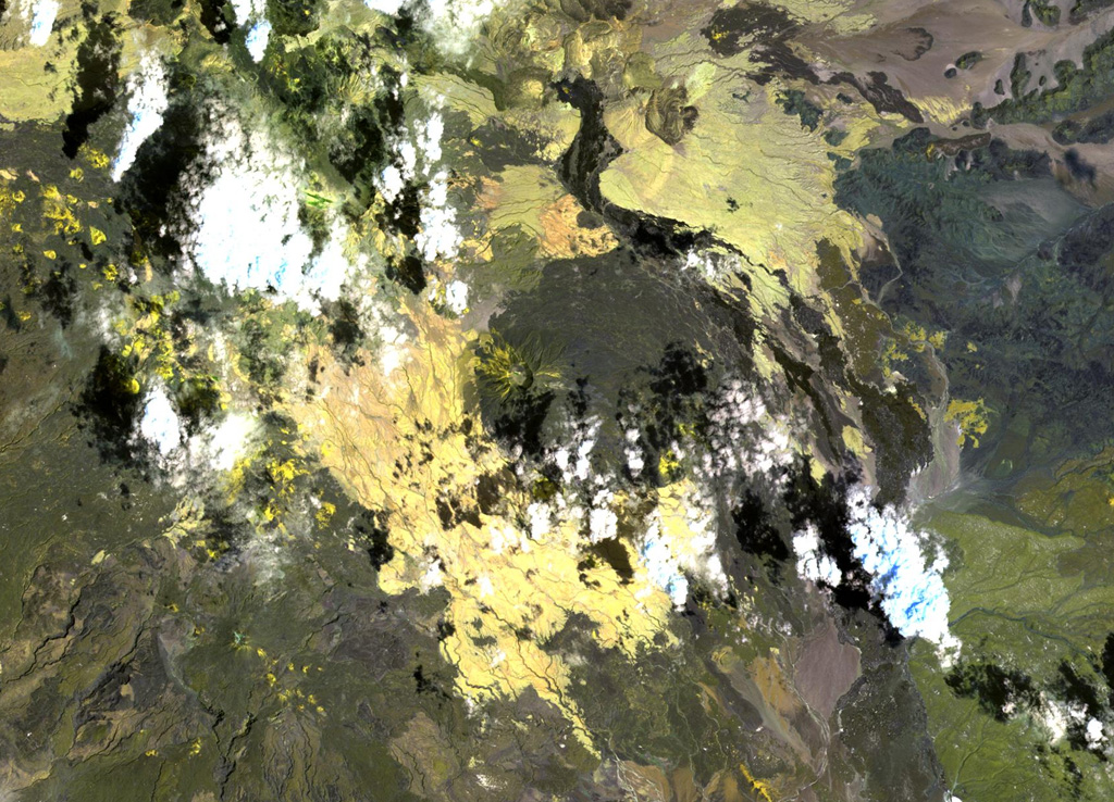
The roughly 1-km-wide caldera is located at the western side of the dark-colored lava field, at the summit of Sork Ale volcano (at the center of this NASA Landsat image, N is at the top). This stratovolcano, also known as Asdaga, is located perpendicular to the orientation of three larger stratovolcanoes trending NE-SW at the southern end of the Danakil Alps. The ages of recent eruptions are not certain.
NASA Landsat image, 1999 (courtesy of Hawaii Synergy Project, Univ. of Hawaii Institute of Geophysics & Planetology).
![]() This image is made available as a Public Domain Work, but proper attribution is appreciated.
This image is made available as a Public Domain Work, but proper attribution is appreciated.
Keywords: remote sensing

Sork Ale