Image GVP-11212
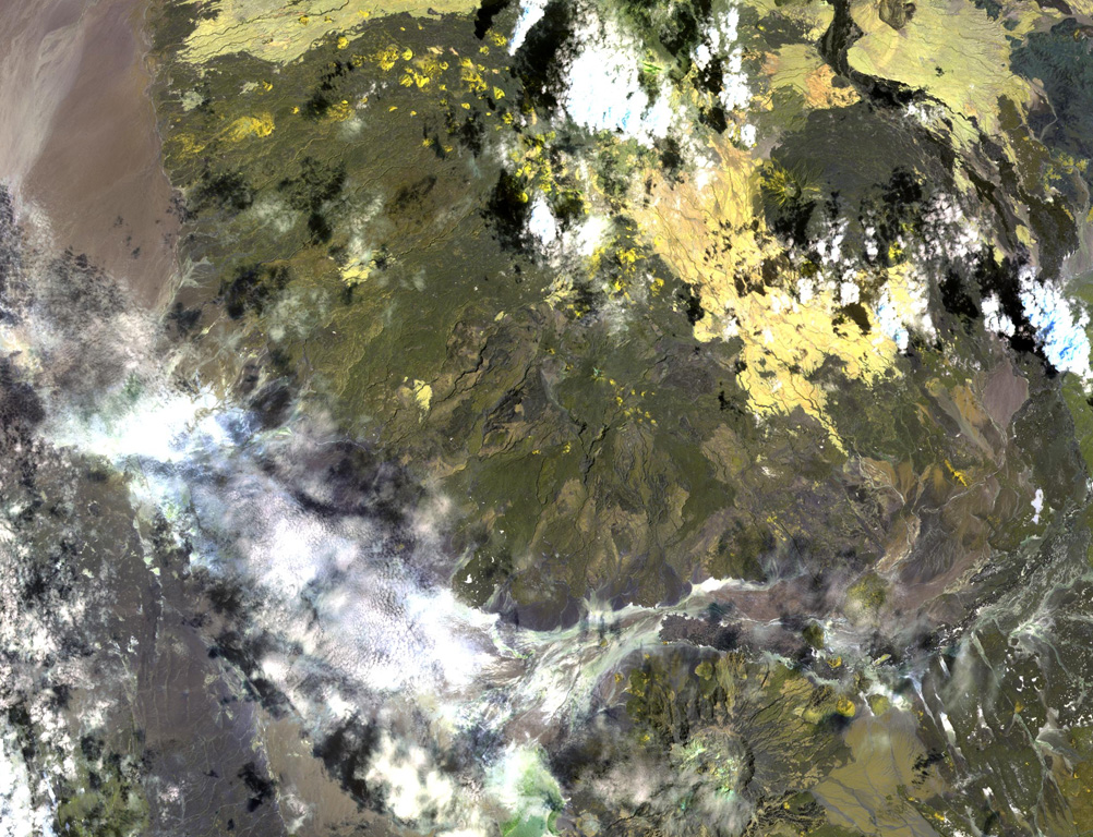
Asavyo volcano, near the center of this NASA Landsat image, is the SW-most of three large silicic stratovolcanoes of uncertain age constructed along a NE-SW-trending line in the Danakil horst. Basaltic lava flows blanket the flanks of Asavyo, which merge into the Mogorros plains to the south. The caldera at the bottom right-center is Oyma volcano, Mallahle volcano lies beneath the clouds at the top center, and Sorkale volcano occupies the circular dark-colored area at the upper right.
NASA Landsat image, 1999 (courtesy of Hawaii Synergy Project, Univ. of Hawaii Institute of Geophysics & Planetology).
![]() This image is made available as a Public Domain Work, but proper attribution is appreciated.
This image is made available as a Public Domain Work, but proper attribution is appreciated.

Asavyo