Image GVP-11213
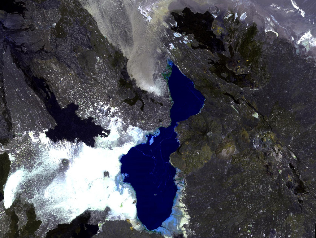
The Tat Ali volcanic massif extends across the right-hand side of this NASA Landsat image, east of Lake Afrera (center). This basaltic-to-pantelleritic shield volcano displays an elongated central depression partially filled by recent basaltic lava flows. The dark-colored flows at the upper right were erupted from fissures at the northern end of the Tat Ali complex. Borawli volcano lies at the right-center, between Tat Ali and Lake Afrera (also known as Lake Giulietti), and the lava flows at the upper left are from the flanks of the Hayli Dubbi complex.
NASA Landsat image, 1999 (courtesy of Hawaii Synergy Project, Univ. of Hawaii Institute of Geophysics & Planetology).
![]() This image is made available as a Public Domain Work, but proper attribution is appreciated.
This image is made available as a Public Domain Work, but proper attribution is appreciated.
Keywords: remote sensing

Tat Ali
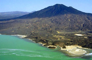
Borawli