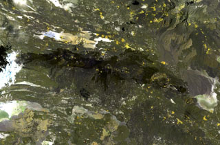
Image GVP-11215
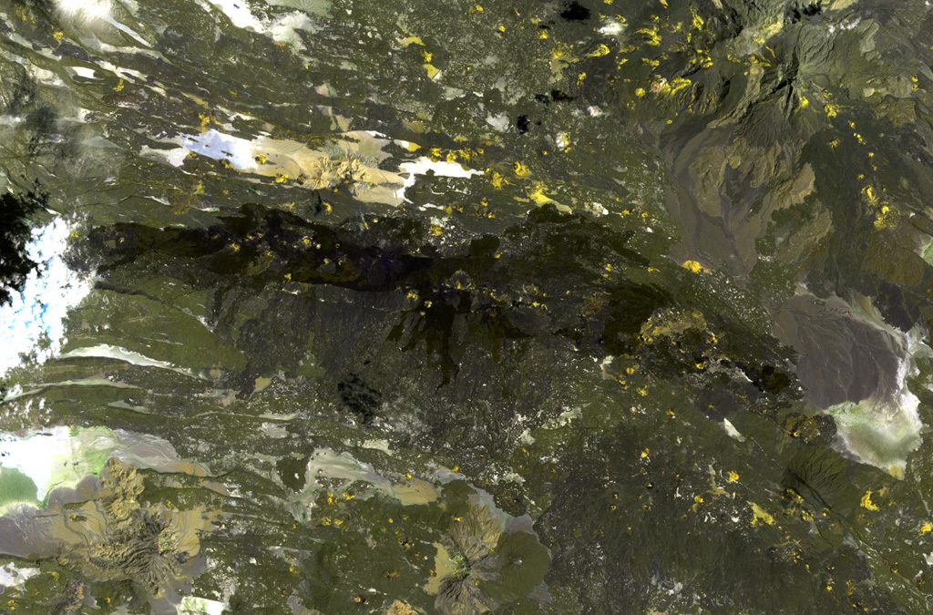
The dark-colored lava flows extending diagonally across the center of this Landsat image were erupted from pyroclastic cones of Manda-Inakir volcano. These NNW-trending fissure vents and cones are located along the Ethiopia-Djibouti border and represent an uplifted mid-ocean ridge spreading center now exposed above sea level. An eruption in 1928 or 1929 at the SE end of the Manda-Inakir rift near the town of Korili (in Djibouti) produced the Kammourta cinder cone and a lava flow.
NASA Landsat image, 1999 (courtesy of Hawaii Synergy Project, Univ. of Hawaii Institute of Geophysics & Planetology).
![]() This image is made available as a Public Domain Work, but proper attribution is appreciated.
This image is made available as a Public Domain Work, but proper attribution is appreciated.
Manda-Inakir