Image GVP-11492
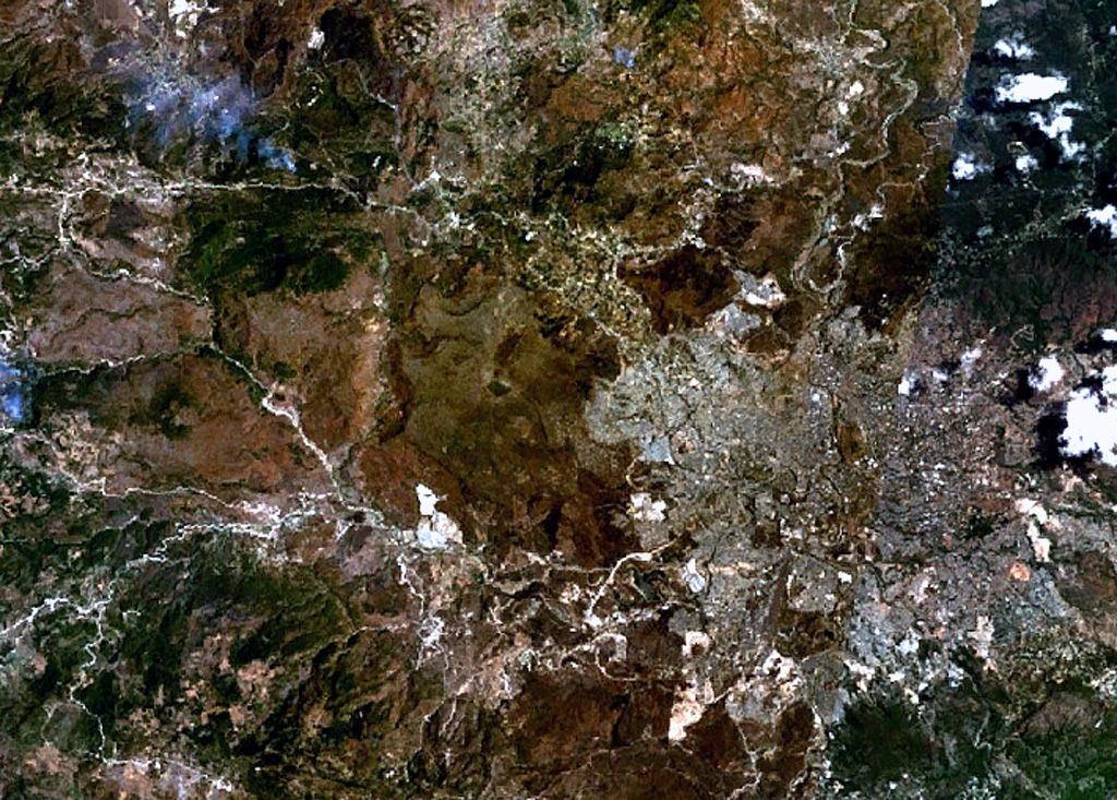
The volcano near the center of this NASA Landsat image (with north to the top) is El Pedregal, the most prominent Quaternary volcano in the highlands of central Honduras. This low-angle basaltic shield volcano was constructed on a high plateau of Miocene ignimbrites immediately west of the capital city of Tegucigalpa, which covers much of the lower-right quadrant of this image. Isolated remnants of basaltic lava flows from El Pedregal and separate vents occur over broad areas to the west and NW.
NASA Landsat 7 image (worldwind.arc.nasa.gov)
![]() This image is made available as a Public Domain Work, but proper attribution is appreciated.
This image is made available as a Public Domain Work, but proper attribution is appreciated.

El Pedregal