Image GVP-11524
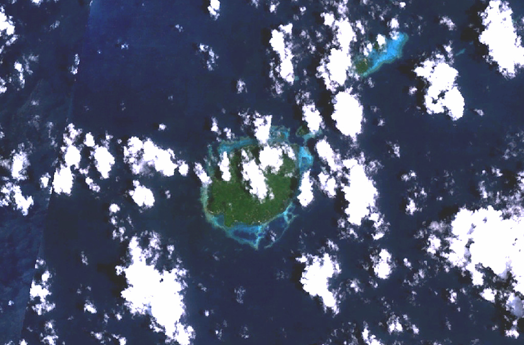
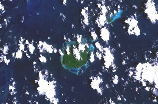
The circular, 5.5-km-wide island of Baluan (center) in the Admiralty Islands lies SE of Manus Island and across the St. Andrew Strait from Lou and Tuluman islands (out of view to the N). This Pleistocene volcano has a large summit crater and several flank vents. In contrast to its neighboring islands to the N, Baluan has erupted basaltic rather than rhyolitic rocks. The Pam Islands to the NE are visible at the upper right in this NASA Landsat image (N is to the top).
NASA Landsat 7 image (worldwind.arc.nasa.gov)
![]() This image is made available as a Public Domain Work, but proper attribution is appreciated.
This image is made available as a Public Domain Work, but proper attribution is appreciated.
Baluan