Image GVP-11550
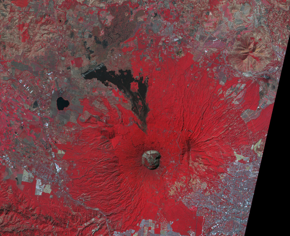
This false-color NASA ASTER image (N is at the top) looks down on the 1.5-km-wide San Salvador summit crater. The lava flow to the north was erupted from a flank vent in 1917; the small cone in the center of the summit crater also formed that year. Lake-filled Laguna de Chanmico maar lies on the lower NW flank (left-center). The capital city of San Salvador is at the lower right.
NASA ASTER image, 2001 (https://earthobservatory.nasa.gov/).
![]() This image is made available as a Public Domain Work, but proper attribution is appreciated.
This image is made available as a Public Domain Work, but proper attribution is appreciated.
Galleries: Remote Sensing
Keywords: remote sensing | crater | maar | lava flow | thermal infrared
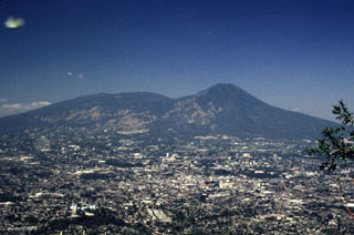
San Salvador