Global Volcanism Program | Image GVP-11553
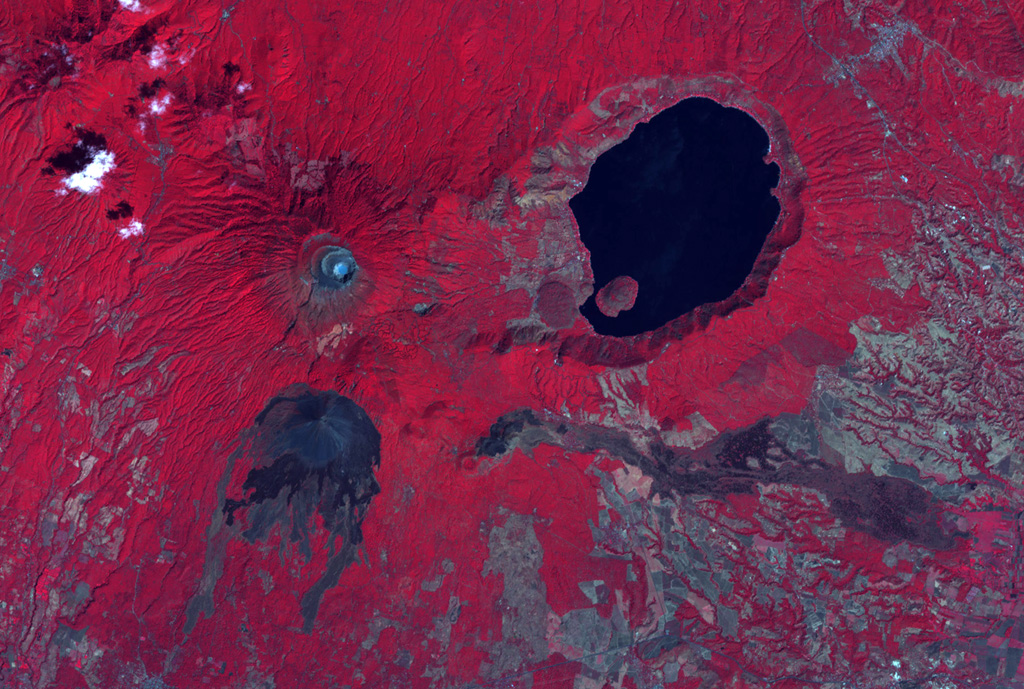
The summit crater complex of Santa Ana volcano with its small light-bluish crater lake is visible at the left-center in this false-color ASTER satellite image (N is to the top; this image is approximately 30 km across). The lake-filled Coatepeque caldera is east of Santa Ana, and Izalco volcano with its lava flows are to the south. A fissure was the source of an eruption in 1722 CE from a scoria cone (center) on the SE flank that produced the lava flow across the image to the lower right.
NASA ASTER image, 2001 (https://earthobservatory.nasa.gov/).
![]() This image is made available as a Public Domain Work, but proper attribution is appreciated.
This image is made available as a Public Domain Work, but proper attribution is appreciated.
Keywords: caldera | lava flow | remote sensing | technology
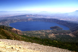
Coatepeque Caldera

Santa Ana
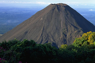
Izalco