Image GVP-11566
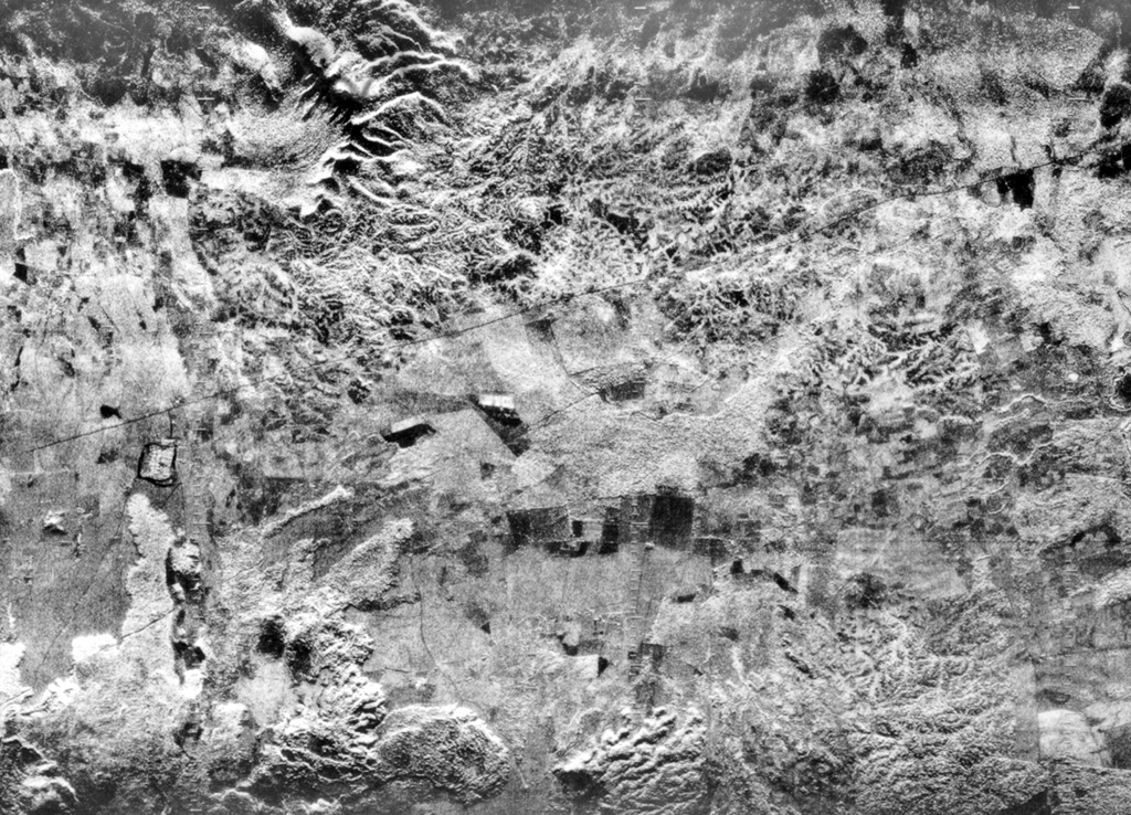
The flat-lying floor of the topographically indistinct 10-km-wide Malpaisillo pyroclastic shield volcano lies in the center of this radar image of the Nicaraguan depression. The Malpaisillo road crosses the image diagonally from the SW to the NE, and the town of Malpaisillo is outlined in black below the road at the left-center. Extensively dissected dacitic airfall and ignimbrite deposits are seen north of the 10-km-wide caldera, and lava flows from Las Pilas complex at the lower left lie SW of the caldera.
Radar image, 1971 (courtesy of Jaime Incer).
![]() This image is made available under the Creative Commons BY-NC 4.0 license terms.
This image is made available under the Creative Commons BY-NC 4.0 license terms.
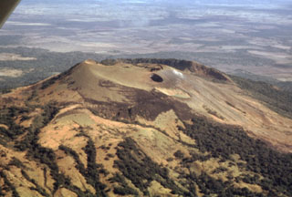
Malpaisillo