Global Volcanism Program | Image GVP-11567
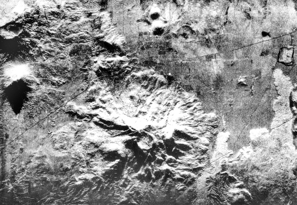
The deeply eroded Rota stratovolcano with its circular 1-km-wide summit crater lies at the bottom-center of this radar image. The latest eruption from the 832-m-high volcano produced thick andesitic lava flows NW of the summit, which extend nearly to the Malpaisillo road cutting diagonally across the image to the upper right. Two small NNW-SSE-trending lava domes (top-center), El Bosque, are located on the plain 2 km north of the flank of Rota (top-center). The Telica volcanic complex is visible at the upper left and lava flows from Las Pilas at the far right.
Radar image, 1971 (courtesy of Jaime Incer).
![]() This image is made available under the Creative Commons BY-NC 4.0 license terms.
This image is made available under the Creative Commons BY-NC 4.0 license terms.
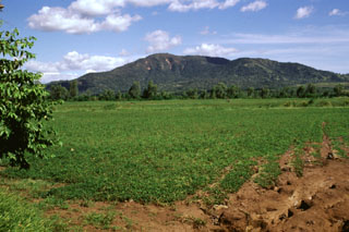
Rota